
"Longs Peak, Altitude 14,255 feet, from the Big Rock Point, On the Trail Ridge Road"

"Road down the western side of Flagstaff Mountain, Boulder, CO"
These postcards are from 1938 according to their postmarks.
Trail Ridge Road is the name for a section of US Hwy 34 and is the highest continuous highway in the United States. It is also known as the Beaver Meadow National Scenic Byway, it goes through Rocky Mountain National Park from Estes Park, Colorado to Grand Lake, Colorado and crosses the Continental Divide at Milner Pass.
Flagstaff Mountain is located just west of downtown Boulder, Colorado.
It offers stunning daytime and night-time views of Boulder, Denver and the surrounding mountains. There are hiking and bike trails, picnic areas, the Summit Nature Center, and an outdoor amphitheater.
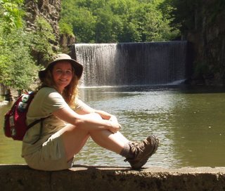
Ryan and I are looking for pledges to contribute for the protection and maintenance of Washington State Trails. So far we have raised over $1000 and we are well on our way to our goal of $1500. We only have 25 more days or so to hike our miles and raise the rest of our money. Please consider making a donation, no amount is too small. Just follow the link posted below. Thanks so much!!
http://www.gifttool.com/athon/MyFundraisingPage?ID=1468&AID=2449&PID=369509


No comments:
Post a Comment